Tesla Pivots to Build Internal Maps to Address FSD Flaws
The automaker is developing proprietary navigation tools to correct persistent errors in speed limit recognition and parking, marking a significant departure from its previous camera-only strategy.
By Anna Nowak ·
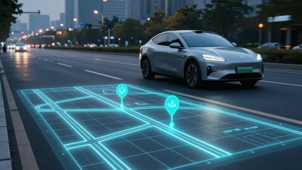
For years, Tesla’s leadership maintained that detailed digital maps were an unnecessary crutch for autonomous driving, arguing that relying on them made systems brittle. That stance has effectively collapsed. The company has officially announced it is constructing its own mapping infrastructure to resolve some of the most frequent complaints regarding its Full Self-Driving (FSD) software, specifically issues with reading speed limits, finding parking spots, and selecting efficient routes. This admission represents a significant strategic shift for the EV giant, as it now acknowledges that its fleet must perform the same data-collection tasks previously associated with competitors like Waymo.
The revelation came during Tesla’s Q3 2026 earnings call, where the discussion was prompted by a retail investor who noted that mapping errors remained a primary pain point for FSD users. In response, Ashok Elluswamy, Tesla’s Vice President of AI, confirmed that the company should not rely on external data providers. He explained that Tesla is developing a new, AI-driven mapping architecture that leverages data from its existing vehicle fleet. This system is designed to learn individual driver preferences and respond to voice commands, moving beyond simple navigation to a more adaptive environmental understanding.
Elon Musk previously dismissed high-precision lane maps as a "huge mistake" and a "really bad idea" during a 2019 presentation, famously labeling lidar technology a "fool’s errand." At the time, the message was clear: Tesla would solve driving using only cameras and artificial intelligence, allowing the cars to operate anywhere without pre-mapped data. However, seven years later, the company is implementing a map layer built by its own cars to correct errors that the vision system consistently fails to handle, particularly in interpreting road signage.
This new approach is not a high-definition map in the traditional sense, but it addresses critical gaps in environmental awareness. Recent studies highlight these gaps; for instance, a Belgian road safety group found that FSD vehicles exceeded speed limits in 55% of 30 km/h zones in Brussels, often because the car’s display incorrectly showed a 50 km/h limit. Similarly, the U.S. National Highway Traffic Safety Administration is weighing an investigation into claims that Tesla Robotaxis speed through active school zones. These incidents suggest that relying solely on real-time vision is insufficient for reading basic road information reliably.
By using its fleet to continuously update map data, Tesla is converging on the operational model used by Waymo, which maps cities with sensor-equipped vehicles before launching service. While Tesla’s cars do not use lidar, the core principle is identical: vehicles collect data to build a shared knowledge base that improves driving for the entire network. This method also aligns with how Tesla’s Robotaxi service currently operates, which is limited to specific geofenced areas rather than open-ended, anywhere driving.
The new mapping technology will begin handling the start and end of trips with the upcoming FSD v15 release. Over the following months, the system is expected to take over broader navigation, parking, and destination management. While the company has not yet committed to centimeter-level precision, the continuous refinement of this fleet-built map suggests a trajectory toward greater detail. For now, the move acknowledges that while vision is powerful, it requires a structured map to reliably interpret the world.
Source: Electrek